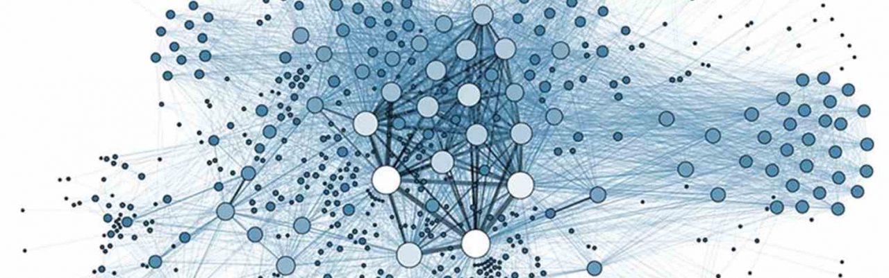
Data appears in different sizes and shapes, it can be numerical data, text, multimedia, research data, or a few other types of data. The data format is said to be a kind of format which is used for coding the data. The data is coded in different ways. It is being coded, so that it can be read, recognized, and used by the different applications and programs.
In the information technology, the data format may be referred in different ways. It can be termed as the data type, which is a constraint in the type system which was positioned after the interpretation of the data. It is also termed as a file format which is being used for storing the encoding data in a computer file. Or it can also be termed as Content Format, where the media data is represented in the particular format, that is a video format and audio format.
When it comes to choosing a data format, there are several things which one need to check like the characteristics of the data or the size of the data, infrastructure of the projects, and the use case scenarios. Certain tests are performed in order to choose the right data format by checking the speed of writing and reading the data file. Mainly there are three main types of data formats which are also called as GIS Data formats. All of these data formats are handled in a different way. They are being used for different purposes. The three data formats are:
- File-Based Data Format
- Directory-Based Data Format
- Database Connections
Below, we have explained these three types of data formats:
File-Based Data Format – This type of data format includes either one file or more than one file. These files are then stored in any of the arbitrary folders. In most of the cases, it uses the single file only for example DGN. But then there are cases, which even includes at least three files. The filename extension of all these three files is different from each other. That is SHX, SHP, and DBF. All three files are important and are required here. As different tasks are performed by all these three files internally. One uses the filename as the name of the data source. There are many layers present in it, and it is not possible to know about them just with the help of the filename. Like in shapefile, there is only one data source for every shapefile. And there is only one layer, which is named similarly as the name of the file. Some of the examples of file-based data format are Microstation Design Files, Shapefiles, and GeoTIFF images.
Directory-Based Data Format – In this type of data format, whether there is one file or there is more than one file, they are all stored in the parent folder in a particular manner. There are some cases where the requirement of an additional folder is there in the file tree in some other location so that it can be accessed easily. It is a possibility that data source is the directory itself. There are many files present in the directory, which are represented at the available data’s layers. For example, the Polygon Data is represented by the PAL.ADF. As there is more than one file in the folder with the ADF file extension which is included in the ESRI ArcInfo Coverages. The ADF file extension includes the line string data or the arc string data. All the ADF files serve as a layer which is present in the data source inside the folder. Some of the examples of Directory-Based Data Format are US Census TIGER and ESRI ArcInfo Coverages.
Database Connections – In one respect, the database connections are quite similar to the above-mentioned data formats that are file and directory-based data format. For interpreting, for MapServer, they give geographic coordinate data. One need to access the coordinates inside the MapServer, that are creating the vector datasets. The stream of coordinates that are provided by the database connections is stored temporarily in the memory. The MapServer then reads these coordinates for making the map. Coordinate Data is the most important part and most of the focus is on it only. However, one may also require tabular data and attributes. The database connection generally consists of the following information like Host that is the server’s direction, Database Name, the Username and Passwords, Geographic Column name, and the table name or the view name. A few examples of Database Connections are MySQL, ESRI, PostGIS, and ArcSDE.
Benefits of data format types
With data format types being in place, it becomes easy for the user to carry out multiple operations and make the most of it. some of the benefits of having data format types has been listed below:
- Calculations: Calculations have never been easy before the introduction of data format types. With these formats, all you have to do is punch in the values and within no time all the calculation is done and at your disposal.
- Formatted: The data if kept well formatted and organized is presentable and understandable by the users. Thus individuals referring to such data can make the most of it. if a user has to make a similar presentation at different points of time, they can simply pick up a format and keep using it for drafting presentations.
- Consistency: Data types helps the user to have variable that is consistent throughout the program. So you can simply rely on the variable to make presentations, or calculations.
- Readable: The data is readable and accessible to users all the time without any hassle. Hence any job can be done at the earliest with maximum output produced.
Conclusion
From the facts mentioned above, it is well evident to the users that what are different data format types, its benefits and how these can be used for producing more efficiency and results. Companies are leaning on data more and more in order to improve sales …
Continue reading